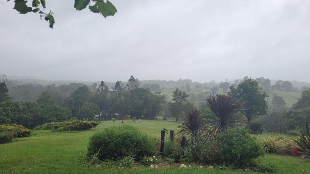
Victoria has seen a much wetter than average January due to intense thunderstorm activity across several days.
This month was the eighth-wettest January on record for Victoria as a whole.
Daytime temperatures were warmer than average in the central and western parts of the state.
Night-time temperatures were the warmest on record across most of Victoria.
Statewide, January rainfall was 91 per cent above the long-term January average, making it the eighth-highest January rainfall total on record and the highest since 2011.
Most of the state experienced above average rainfall and large parts of eastern, north-eastern and central Victoria were much wetter than average.
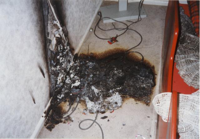
A low pressure trough over Victoria on the January 4 and 5 brought a humid tropical air-mass, and severe thunderstorms, heavy rainfall and damaging wings impacted parts of the state.
More thunderstorms developed across Victoria on January 14 and 15 when deep low pressure troughs moved slowly westward over the state.
Statewide, the mean minimum temperature was 3.65 degrees Celsius above the long-term average, making it the highest on record for January.
Night-time temperatures were the warmest on record for most of Victoria.
For the state as a whole, the mean maximum temperature was 1.88 degrees Celsius warmer than the long-term January average.
A low intensity heatwave affected Victoria between January 20 and 28, with state-wide daily maximum and minimum temperatures five to 10 degrees above the January average.
The Victorian mean temperature was 2.77 degrees Celsius warmer than the long-term average – the fifth warmest January on record.