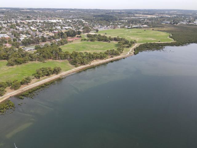
Towns along Western Port Bay will face increasing flooding hazards, with Tooradin standing out as most at risk, a report commissioned by Casey Council shows.
A model in the draft of the Casey Coastal Framework reveals that Tooradin is projected to suffer alarmingly high risks from temporary inundation in 2070 when the sea level potentially rises 50 centimetres, and the situation will worsen in 2100 with a potentially 80-centimetre rise.
The report identifies the need for an immediate-risk action plan for the area.
The township is already undergoing tolerably high risks of temporary inundation at the present day.
Over 50 per cent of the general residential zone in Tooradin is currently at high risk of inundation, increasing to 84 per cent by 2100, corresponding to almost 500 buildings currently at high risk, to over 800 buildings by 2100.
According to the report, temporary inundation is caused by rising sea levels and more frequent and intense storms.
It will affect all low-lying coastal lands, including large areas of conservation and green wedge zones, principal road networks, commercial services, utilities including drainage, sewer, and electricity, transport networks, and agricultural and residential areas.
Key commercial and industry areas are increasingly impacted as well, with almost all commercial areas at risk by 2100.
Almost all public conservation and resource zones and special use zones within Tooradin are currently at medium to high risk of inundation.
Adding to the damaging inundation risks, coastal erosion due to sea level rise puts conservation zones, public zones, key infrastructure networks, and services at risk in the future.
The report highlights that Tooradin is a priority location for coastal hazard adaptation planning, with hazards already impacting the community.
“A general first principle is to avoid placing new development or assets in coastal hazard areas,” the report suggests.
“The preference is to transition land use in coastal hazard areas to lower-risk uses that still provide economic, social, and environmental value to the region.
“Any new development/infrastructure in coastal hazard areas is designed and built in accordance with state planning policy and approvals requirements and includes necessary adaptation.
“Transformational adaptation may also need to be considered, such as retreat pathways which involve relocating infrastructure and transitioning to alternative land uses in coastal hazard zones.”
Tooradin is also estimated to bear the brunt of the economic impacts.
The report notes that average annual damages (AAD) on assets and infrastructure in Casey’s coastal communities are projected to increase by close to 560 per cent to above $350 million between the present day and 2100.
AAD in Tooradin accounts for the largest proportion of the total AAD across the planning horizon, with more than 88 per cent in the present day and about 84 percent in 2100.
A more detailed adaptation planning, including pathways and actions, will be developed in the next stages of the Casey Coastal Framework.
Priority locations of Tooradin, Warneet, and Cannons Creek will be the initial focus of adaptation planning.