The City of Casey has debuted a new interactive mobile signal mapping tool which endeavours to give residents detailed insights surrounding mobile connectivity around their region.
The new public facing tool works as an interactive 4G and 5G mobile signal map for the City of Casey, giving residents a look at where reception may be strong, patchy or weak.
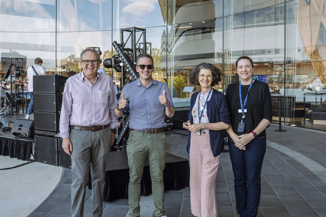
Stefan Koomen, Mayor of Casey, said that the recent developments and rollout of the interactive tool follows council’s endeavours to ensure information is more accessible for Casey locals.
“These enhancements are part of our ongoing efforts to make information accessible and easy to understand,” he said.
“By providing practical, visual insights, we are empowering residents to explore, learn, and make informed decisions.”
For years, many locals have raised their concerns regarding low signal voids in some regions around Casey and the impact of lack of connectivity.
Specifically in the region’s growth fringes such as Clyde and Clyde North — a region that is rapidly increasing in dwellings and population.
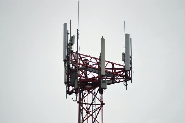
According to the Casey mapping tool, poor signal areas in the growing region still remain, indicating the mobile reception is somewhat irregular across the region.
Coverage quality from major carriers such as Telstra, Optus and Vodafone are also exhibited as inconsistent, with pockets such as Clyde and Clyde North, where 4G and 5G coverage is reduced and where speeds and service quality can vary significantly.
Those who would like to explore the new signal map can go to, data.casey.vic.gov.au/page/cellular-mapping/